
Rockhounding in Lake County, Oregon
13 mapped rockhounding spots in Lake County. Most commonly produces agate, jasper, sunstone, thunderegg.
Every rockhounding spot in Lake County
 Best spotGlass Butte Recreational Rockhound AreaLake County, OregonPublic access · Obsidian, Silver Sheen Obsidian, Lace Obsidian +1
- Best spotOregon Sunstone Public Collection AreaLake County, OregonPublic access · Oregon Sunstone
 West Side Warner PeakLake County, OregonPermission required · Agate, Chalcedony, Geode +3
- Dry CreekLake County, OregonCheck locally · Red Jasper, Jasper, Quartz +2
 LakeviewLake County, OregonPublic access · Agate, Jasper, Geode +2
- Crane MountainLake County, OregonPublic access · Agate, Jasper, Thunderegg
- Quartz Mountain PassLake County, OregonCheck locally · Agate, Chalcedony, Jasper
- Flook LakeLake County, OregonCheck locally · Agate, Jasper
- Warner CanyonLake County, OregonPublic access · Petrified Wood, Quartz
- Crane CreekLake County, OregonCheck locally · Thunderegg
- Double Eagle MineLake County, OregonFee dig · Sunstone
- Dust Devil MineLake County, OregonCheck locally · Sunstone
- Spectrum Sunstone MineLake County, OregonFee dig · Sunstone
Lake County rockhounding photos
Representative spot and material photos from this county, shown where verified public image records are available.
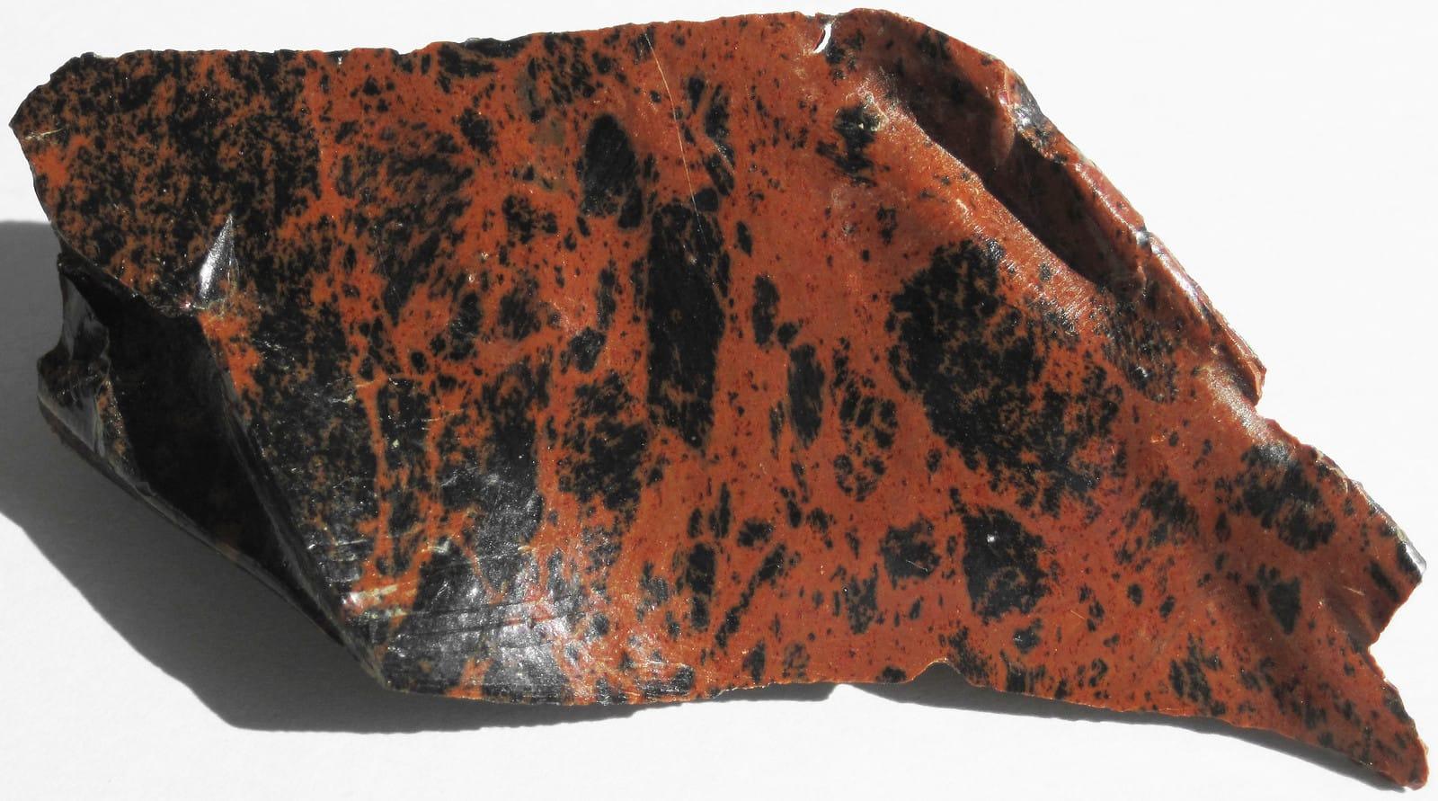
Glass Butte Recreational Rockhound AreaLake County, Oregon 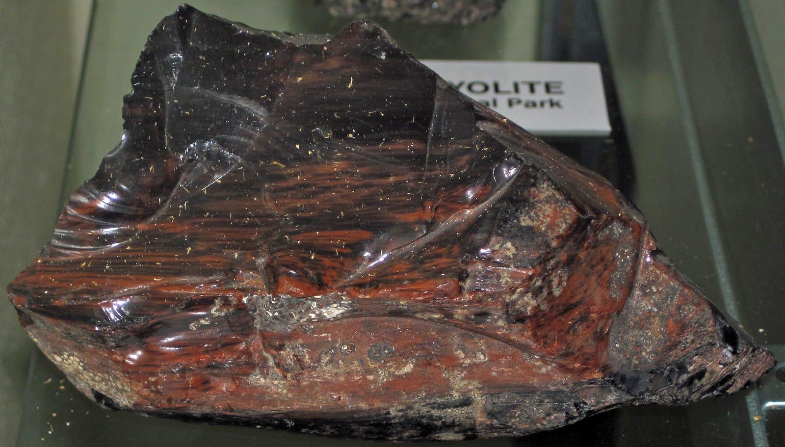
Glass Butte Recreational Rockhound AreaLake County, Oregon 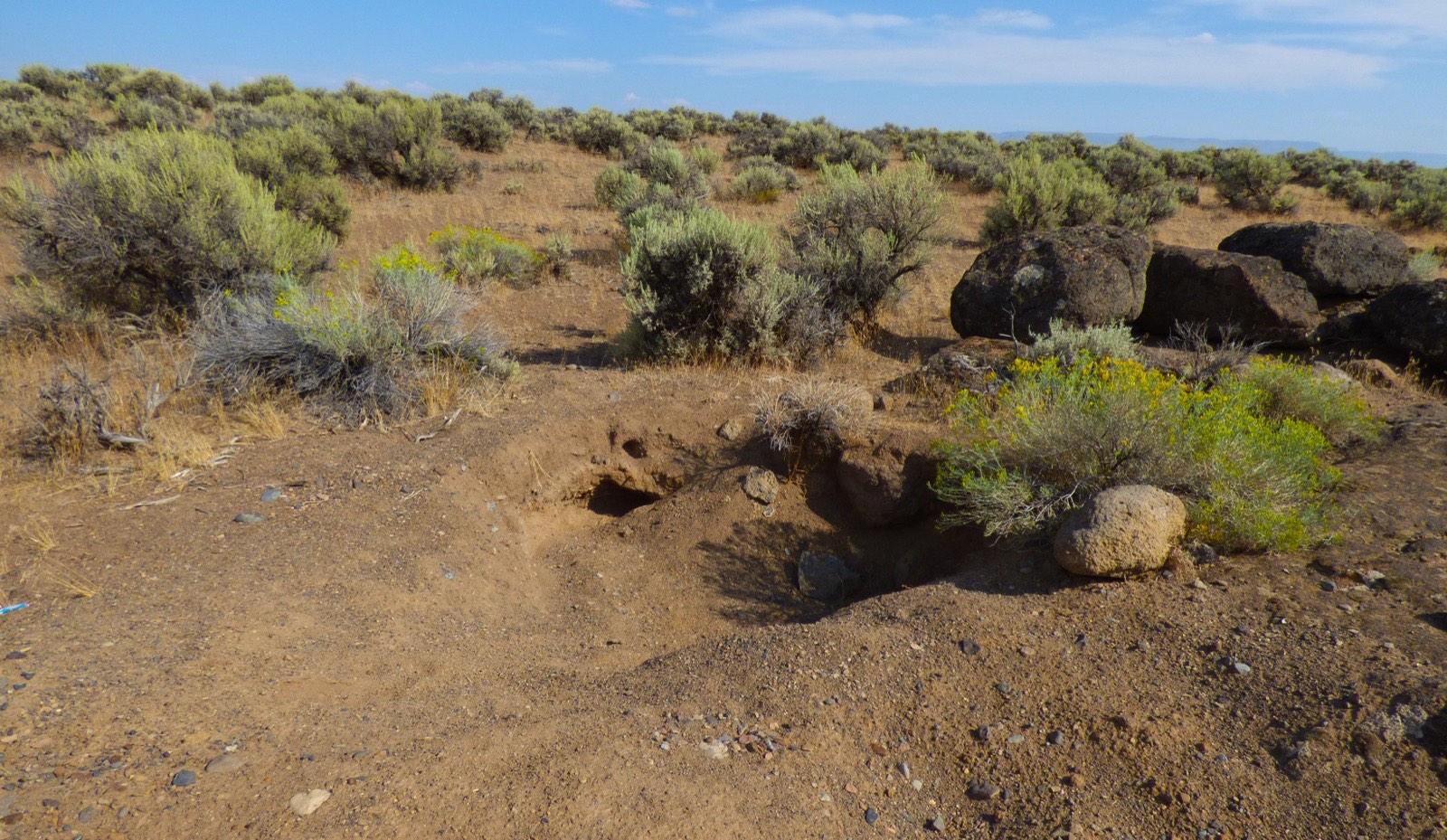
Oregon Sunstone Public Collection AreaLake County, Oregon 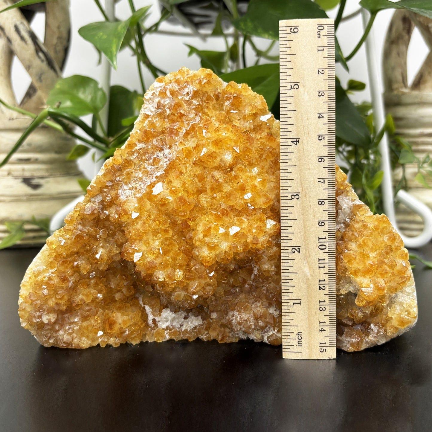
Spectrum Sunstone MineLake County, Oregon 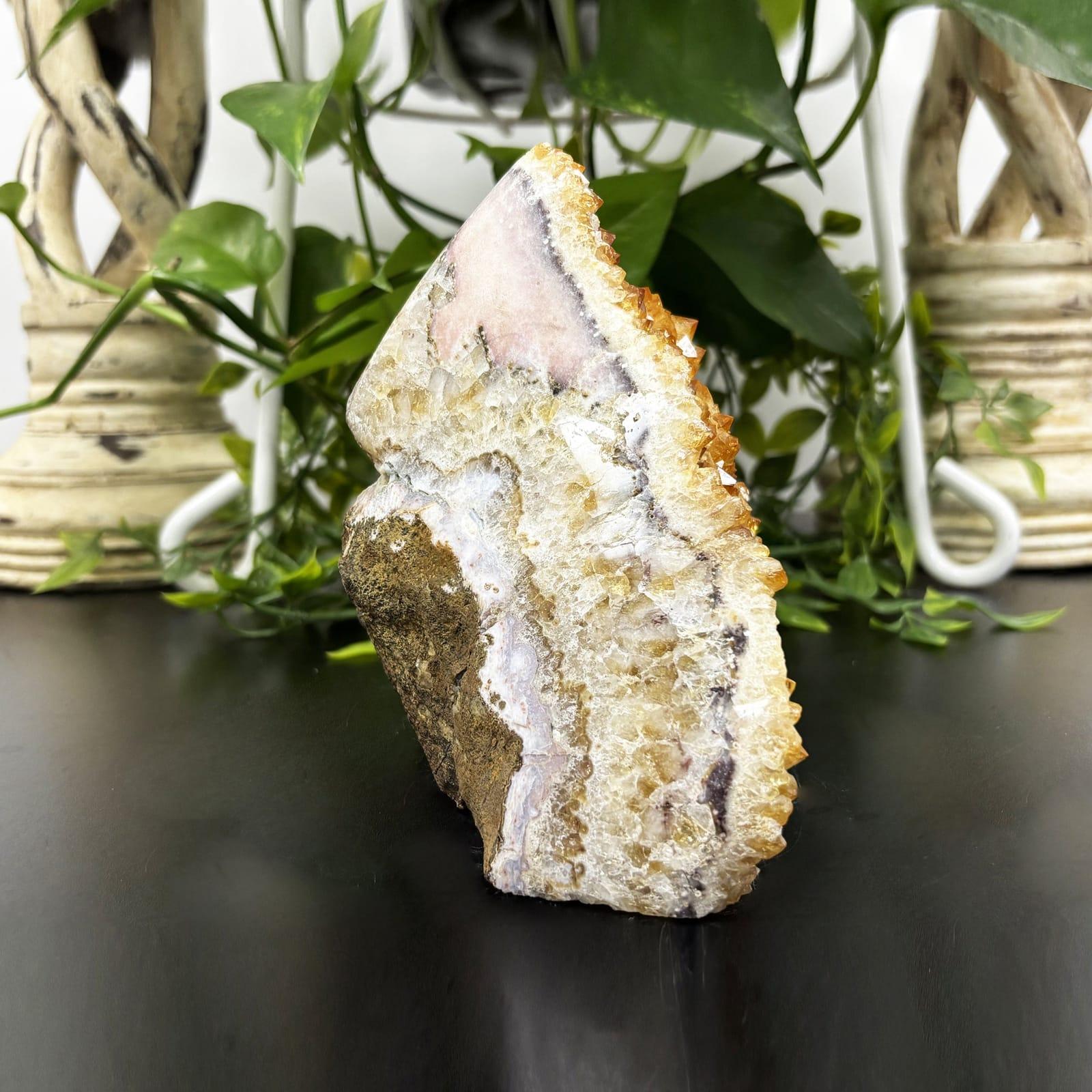
Spectrum Sunstone MineLake County, Oregon
Minerals reported in Lake County
Standouts in Lake County
Hand-picked spots in Lake County, chosen for unusual mineralogy or documented public access. Each card opens the full coordinates and access notes.
- Top pick
Glass Butte Recreational Rockhound Area
Public accessLake County
Glass Buttes is a rhyolite and obsidian complex with an unusually broad suite of gem-quality obsidian, including mahogany, rainbow, gold sheen, silver sheen, midnight lace, and other varieties documented by Oregon State University.
Obsidian, Silver Sheen Obsidian, Lace Obsidian, Mahogany Obsidian
- Top pick
Oregon Sunstone Public Collection Area
Public accessLake County
The Bureau of Land Management set aside this stretch of Rabbit Basin as a free public collection area for Oregon sunstone, the official state gemstone, with no claim, fee, or permit required.
Oregon Sunstone
Neighboring counties in Oregon
Adjacent rockhounding counties, ranked by how close their centroids sit to Lake County. A natural extension if Lake County is already on your trip plan.
- Deschutes County~94 mi1 spotTop: Agate, Jasper, Limb Cast
- Harney County~101 mi12 spotsTop: Agate, Jasper, Petrified Wood
- Crook County~121 mi19 spotsTop: Thunderegg, Petrified Wood, Jasper
- Malheur County~134 mi19 spotsTop: Agate, Jasper, Petrified Wood
- Jackson County~135 mi4 spotsTop: Bloodstone, Agate Nodule, Bowenite
Across the state line from Lake County
Rockhounding counties in neighboring states within driving range. Geology rarely respects state borders. These are often the closest mapped spots you can reach without going deeper into Oregon.
Lake County FAQ
Where can I rockhound in Lake County, Oregon?+
What rocks and minerals are common in Lake County?+
Are these Lake County rockhounding spots on public land?+
Plan a Lake County rockhounding trip
Open RockHoundR to see these spots on the map alongside land overlays, weather, geology, and your saved finds.

