
Rockhounding near Wichita, KS
45 mapped rockhounding spots within 150 miles of Wichita, most inside a 2 to 3 hour drive, 32 of them on public land. Below: every place to go rock hunting, closest first, with what each one produces and its land access.
Covering parts of Kansas, Oklahoma.
Every rock collecting spot within 150 miles of Wichita
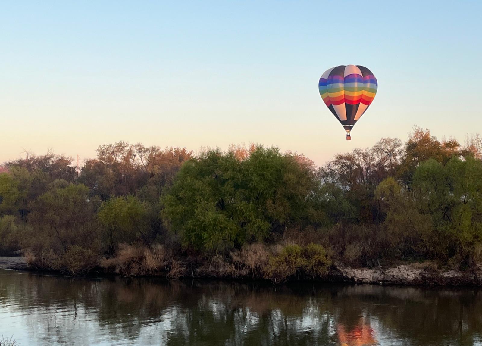 Best spotArkansas River at WichitaSedgwick County, Kansas · 0 mi awayPublic access · Agate, Jasper, Petrified Wood
 Walnut RiverButler County, Kansas · 23 mi awayPublic access · Geode
- Rock TownCowley County, Kansas · 24 mi awayPublic access · Geode
- Chikaskia RiverKingman County, Kansas · 43 mi awayPublic access · Agate, Jasper, Petrified Wood
- FlorenceMarion County, Kansas · 45 mi awayPublic access · Geode
- FreemountMcPherson County, Kansas · 63 mi awayPublic access · Septarian Nodule
 Strong CityChase County, Kansas · 65 mi awayPermission required · Chalcopyrite, Geode
- Medicine LodgeBarber County, Kansas · 75 mi awayPublic access · Petrified Wood
- Medicine Lodge RiverBarber County, Kansas · 77 mi awayPublic access · Agate, Jasper, Agatized Wood +3
- Smoky Hill River (amber)Ellsworth County, Kansas · 78 mi awayPermission required · Amber, Barite Rose
- Mushroom RocksEllsworth County, Kansas · 81 mi awayPermission required · Pyrite Concretion
- KanopolisEllsworth County, Kansas · 83 mi awayPublic access · Halite, Volcanic Ash
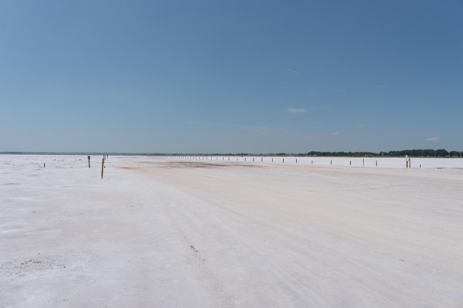 Best spotGreat Salt PlainsAlfalfa County, Oklahoma · 85 mi awayPublic access · Selenite, Halite
- Verdigris RiverWilson County, Kansas · 85 mi awayPublic access · Agate, Jasper, Chalcedony +1
- Yates CenterWoodson County, Kansas · 87 mi awayPublic access · Amethyst, Quartz
- Smoky Hills RiverDickinson County, Kansas · 90 mi awayPublic access · Agatized Wood
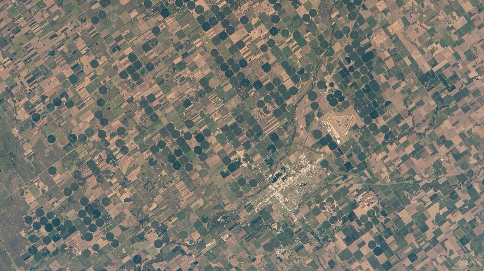 Best spotArkansas River at Great BendBarton County, Kansas · 91 mi awayPublic access · Agate, Jasper, Chalcedony +1
- Sun CityBarber County, Kansas · 92 mi awayPublic access · Gypsum, Calcite
- Geary CountyGeary County, Kansas · 94 mi awayPublic access · Agatized Wood
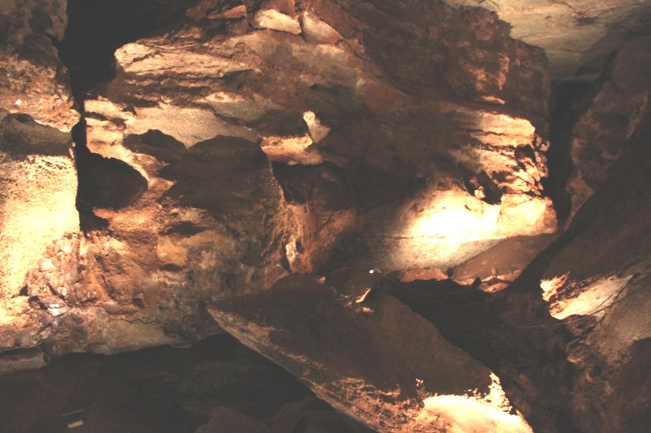 Best spotAlvaWoods County, Oklahoma · 96 mi awayPermission required · Banded Agate, Moss Agate, Chalcedony +2
- Junction CityGeary County, Kansas · 97 mi awayPublic access · Geode
- Republican RiverGeary County, Kansas · 99 mi awayPermission required · Agate, Jasper
- AetnaBarber County, Kansas · 99 mi awayPublic access · Agate, Agatized Wood
- Rock City ParkOttawa County, Kansas · 100 mi awayPublic access · Concretion
- Kimberly RanchKiowa County, Kansas · 102 mi awayPublic access · Meteorite
- WilmoreComanche County, Kansas · 106 mi awayPublic access · Volcanic Ash
- AdaOttawa County, Kansas · 106 mi awayPublic access · Petrified Wood
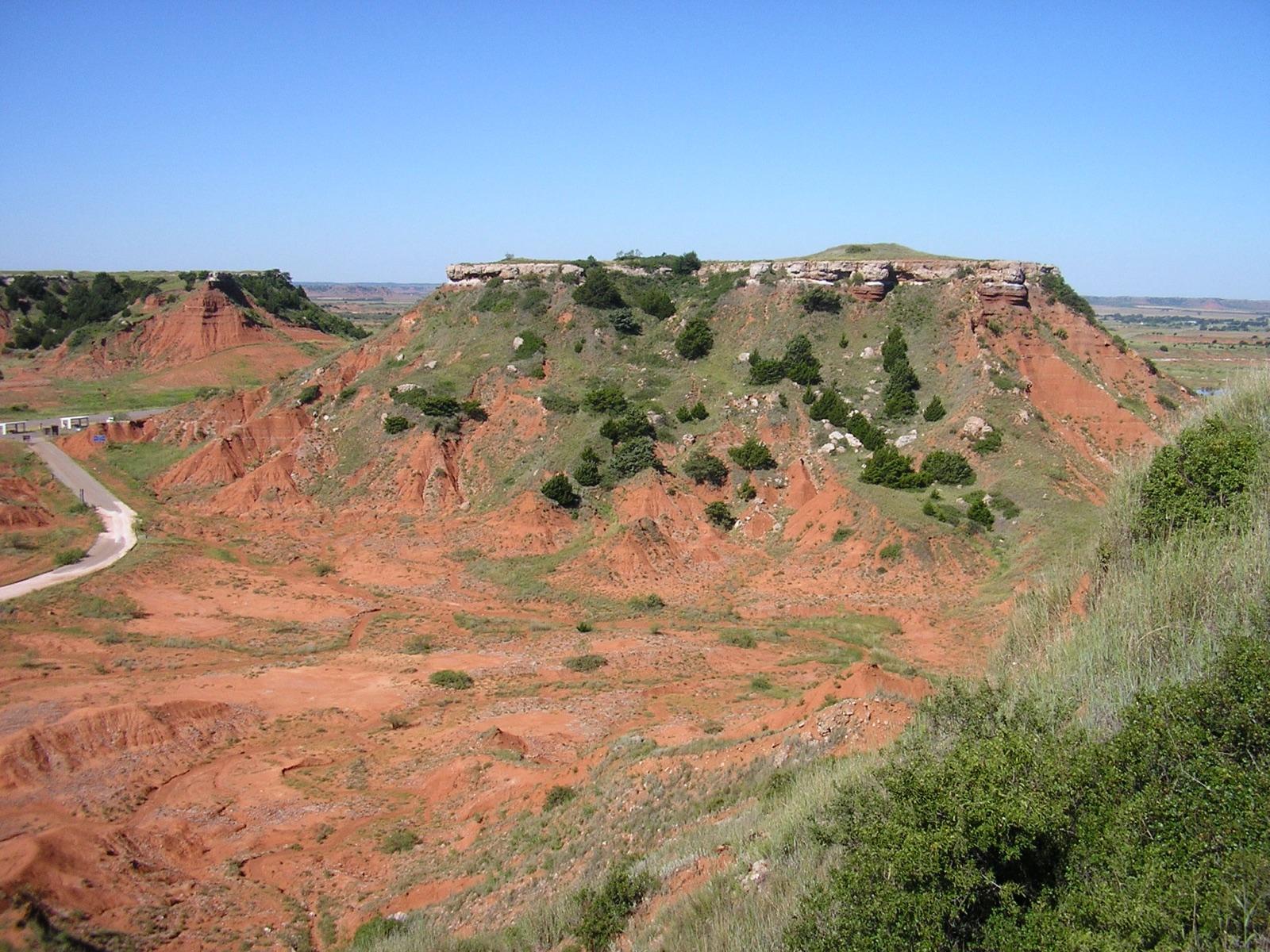 Best spotGloss Mountain State ParkMajor County, Oklahoma · 114 mi awayCheck locally · Selenite, Gypsum
- StockdaleRiley County, Kansas · 117 mi awayPublic access · Garnet
- GarnettAnderson County, Kansas · 122 mi awayPublic access · Fossil
- SouthardBlaine County, Oklahoma · 129 mi awayCheck locally · Priceite, Proberite, Ulexite +1
- OttawaFranklin County, Kansas · 131 mi awayPublic access · Fossil Plant
- ConcordiaCloud County, Kansas · 131 mi awayPublic access · Agate, Moss Agate, Banded Agate +2
- Smoky Hill River (chalk)Ellis County, Kansas · 133 mi awayPublic access · Chalk
- West MineralCherokee County, Kansas · 133 mi awayPublic access · Pyrite, Calcite, Dolomite +2
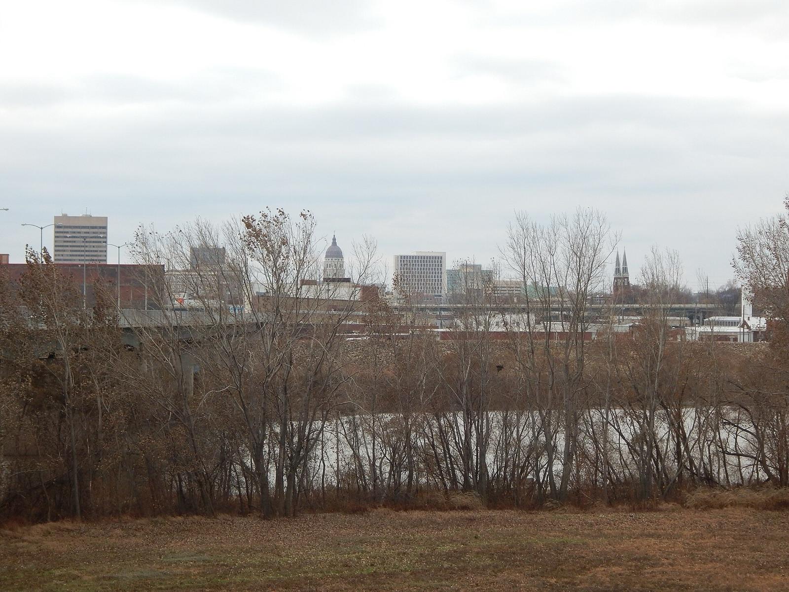 Best spotTopekaShawnee County, Kansas · 134 mi awayPublic access · Lake Superior Agate
- AshlandClark County, Kansas · 134 mi awayPublic access · Moss Agate, Opal, Jasper
- Blaine CountyBlaine County, Oklahoma · 135 mi awayCheck locally · Priceite, Proberite, Ulexite +1
- BuffaloHarper County, Oklahoma · 139 mi awayCheck locally · Agate, Chalcedony, Chert +1
- OsborneOsborne County, Kansas · 140 mi awayPublic access · Septarian Nodule
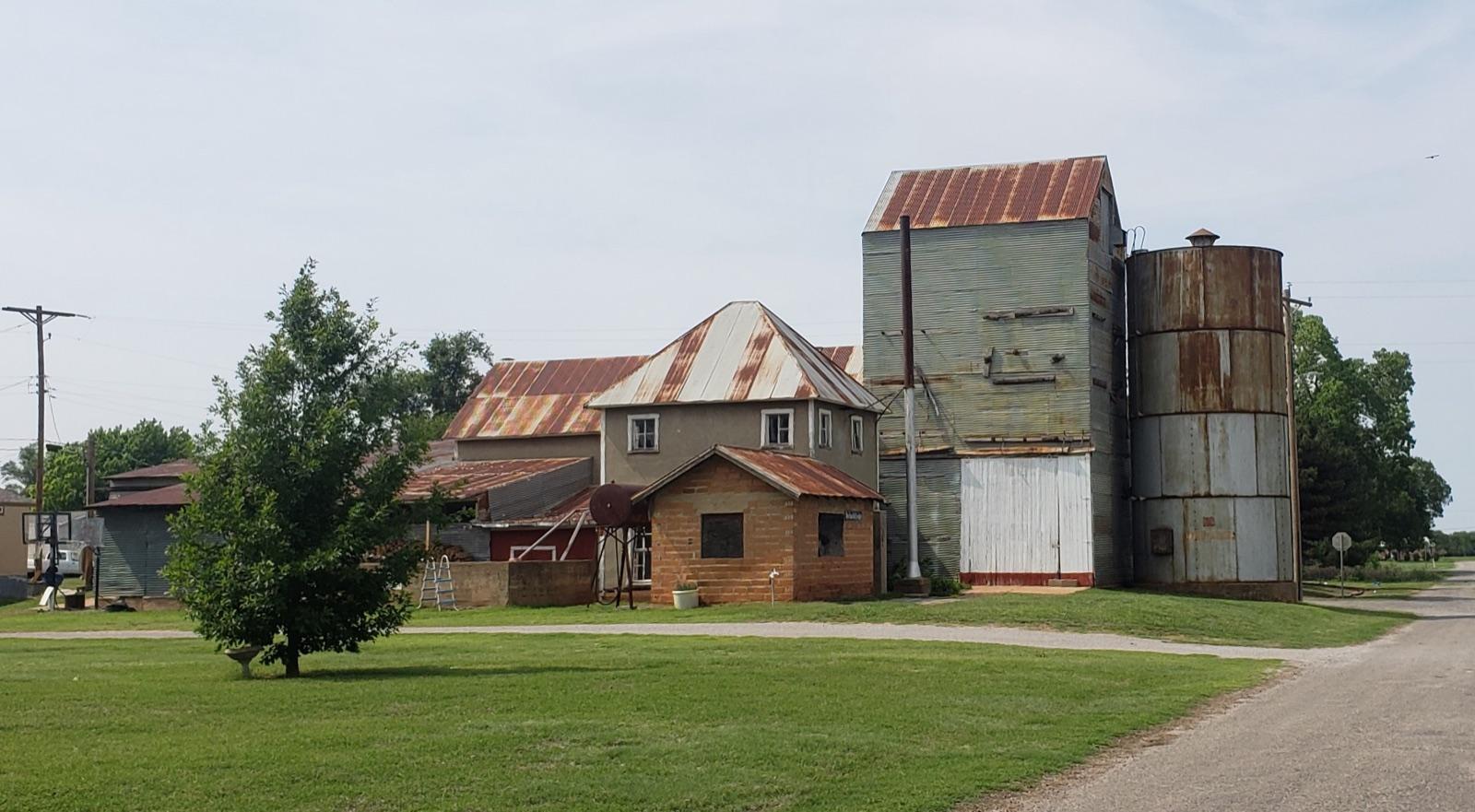 Best spotSeiling & TalogaDewey County, Oklahoma · 142 mi awayPermission required · Agate, Jasper, Petrified Wood
- Big Blue RiverMarshall County, Kansas · 143 mi awayPermission required · Agate, Chalcedony, Chert +1
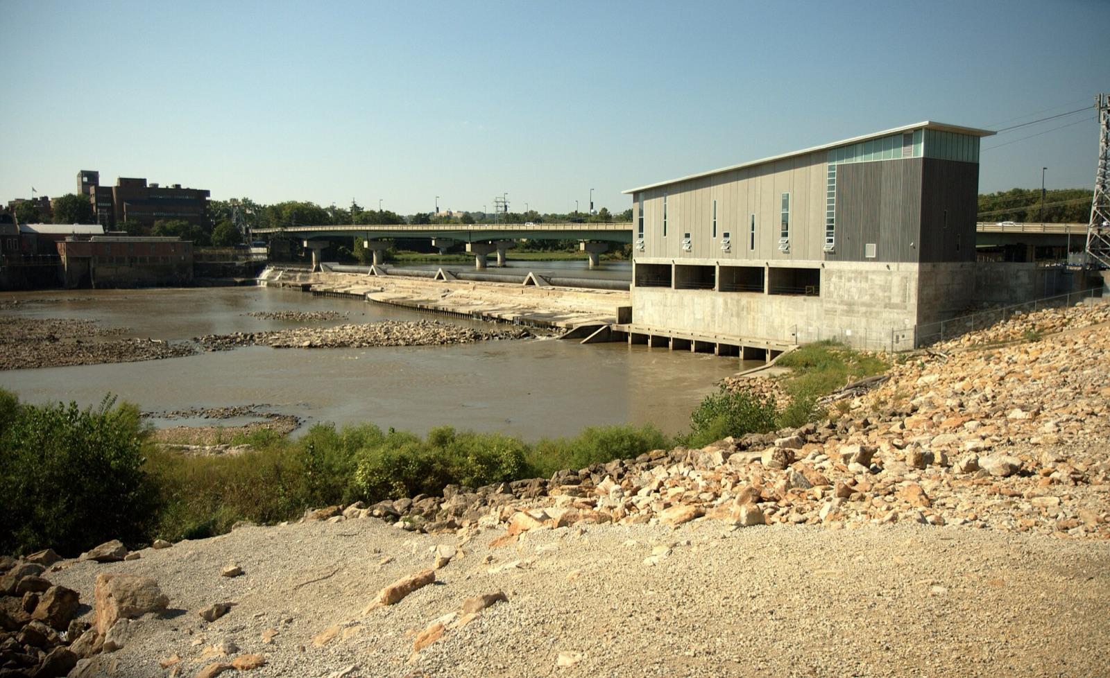 Best spotKansas River at LawrenceDouglas County, Kansas · 144 mi awayPublic access · Lake Superior Agate, Agate, Chert +1
- MiamiOttawa County, Oklahoma · 149 mi awayCheck locally · Aragonite, Barite, Calcite +9
- RosstonHarper County, Oklahoma · 150 mi awayCheck locally · Aragonite
Most-reported finds near Wichita
Counts reflect how many spots in this radius mention each material.
Hunting something specific near Wichita?
These materials have enough dedicated spots around Wichita to earn their own page, with distances and a separate map.
Wichita rockhounding FAQ
Where can I go rockhounding near Wichita?+
There are 45 mapped rockhounding spots within about 150 miles of Wichita, Kansas. The closest is Arkansas River at Wichita in Sedgwick County, roughly 0 mile away. Every one is listed on this page, closest first.
What rocks and minerals can you find near Wichita?+
Spots within driving distance of Wichita most commonly produce agate, jasper, petrified wood, chalcedony, chert, geode.
Is rockhounding legal near Wichita?+
Casual hand collecting of common rocks and minerals is allowed on most BLM and U.S. Forest Service land, with limits set by the local field office. National parks, most state parks, and tribal land are off-limits. Each spot page on this site lists access status; always confirm current rules with the managing agency before a trip.
Are there free places to rockhound near Wichita?+
32 of the 45 spots here are mapped as public access, with no dig fee. Some sit in parks or forests that charge for parking or day use, so check with the land manager first.
Where can I go gem hunting or crystal digging near Wichita?+
2 of the mapped spots near Wichita report quartz or amethyst. The closest is Yates Center, about 87 miles out.
How far do most rockhounders drive from Wichita?+
Most weekend trips from Wichita fall inside a 2 to 3 hour drive, which is roughly the 150-mile radius shown on this page. Closer spots are good for half-day outings; the outer ones are better as overnight trips.
More state coverage
The spots above span 2 states. Open the state page for the full county-by-county view.
Pack Wichita's rockhounding map in your pocket
Open RockHoundR for live land overlays, weather, geology, directions, and saved finds, wherever the drive takes you.

